Safe navigation through the Northwest Passage

Protection and Advanced Surveillance System for the Artic: Green, Efficient, Secure (PASSAGES)

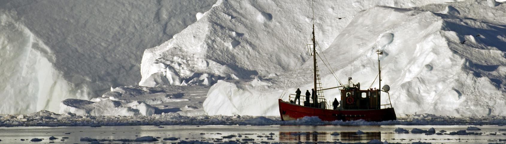
The Northwest Passage is becoming increasingly navigable. This is good news because it offers a route some 5,000 nautical miles shorter than that between East Asia and Europe via the Suez Canal. For shipping companies this means immense savings, but these savings come at the cost of enormous risks for shipping traffic.  A German-Canadian team of researchers, co-initiated by Fraunhofer, aims to change this through a research project called »PASSAGES« (Protection and Advanced Surveillance System for the Artic: Green, Efficient, Secure). With this project, the team is laying the groundwork for safe navigation through the icy waters.

This is no easy task, as the route is not only challenging due to numerous bays, islands, unmapped shoals and narrow passages, but also the obstacles of drift ice, extreme weather conditions and other ships that sometimes send incorrect position reports and sometimes none at all. The system has to provide reliable information on all of these factors.

The problem is that there is little data available because there is no infrastructure for sensors and communication. The entire route encompasses an area larger than Western Europe with a sparsely populated coastline. But even if there were sufficient data, it would first have to be processed into useful information for ship crews and other users.

The primary goal of the project is initially to tap data sources in the harsh, sparsely populated region. The Automatic Identification System (AIS), for example, can be used for this purpose. The system is supplemented by satellite images, but they are incomplete. And even old Cold-War era sonar systems could be revived. But this still does not produce a picture with a resolution high enough to guide captains safely through the waters.

That is why Prof. Dr. Wolfgang Koch, head of the »Sensor Data and Information Fusion« (SDF) department, is drawing on another source of data: passive radar. This technology uses electro-smog from near-coastal mobile phone towers. Receiving stations evaluate the emissions and can extract information about ships and blocks of ice, such as their size, position, and speed. This makes it possible to monitor large areas. The use of unmanned systems that collect information under water as well as on its surface are also being considered.

»The difficulty lies in bringing together highly disparate and inaccurate data in order to create an overall situational picture, and from it extracting specific instructions for captains for which route is the best choice at any given time,« says Koch, laying out the specific challenge confronting the project.

A monitoring and information system will be built on the basis of the new findings and ideas gleaned from the »PASSAGES« project. The goal and intention of the project partners is therefore that the research is followed up as soon as possible by a development project.

An operational system would be a great asset for shipping companies, coastguards, and maritime authorities. Insurers are also interested in the data, which could be used to calculate the premiums for ships requiring insurance. Shipowners would also have to spend less on insurance coverage if the hazardous route could be tamed by safe navigation.

  • Fraunhofer Institute for Communication, Information Processing and Ergonomics FKIE, Wachtberg
  • Airbus
  • exact Earth
  • Dalhousie University Halifax/Canada
  • Federal Ministry for Economic Affairs and Energy (BMWi)